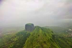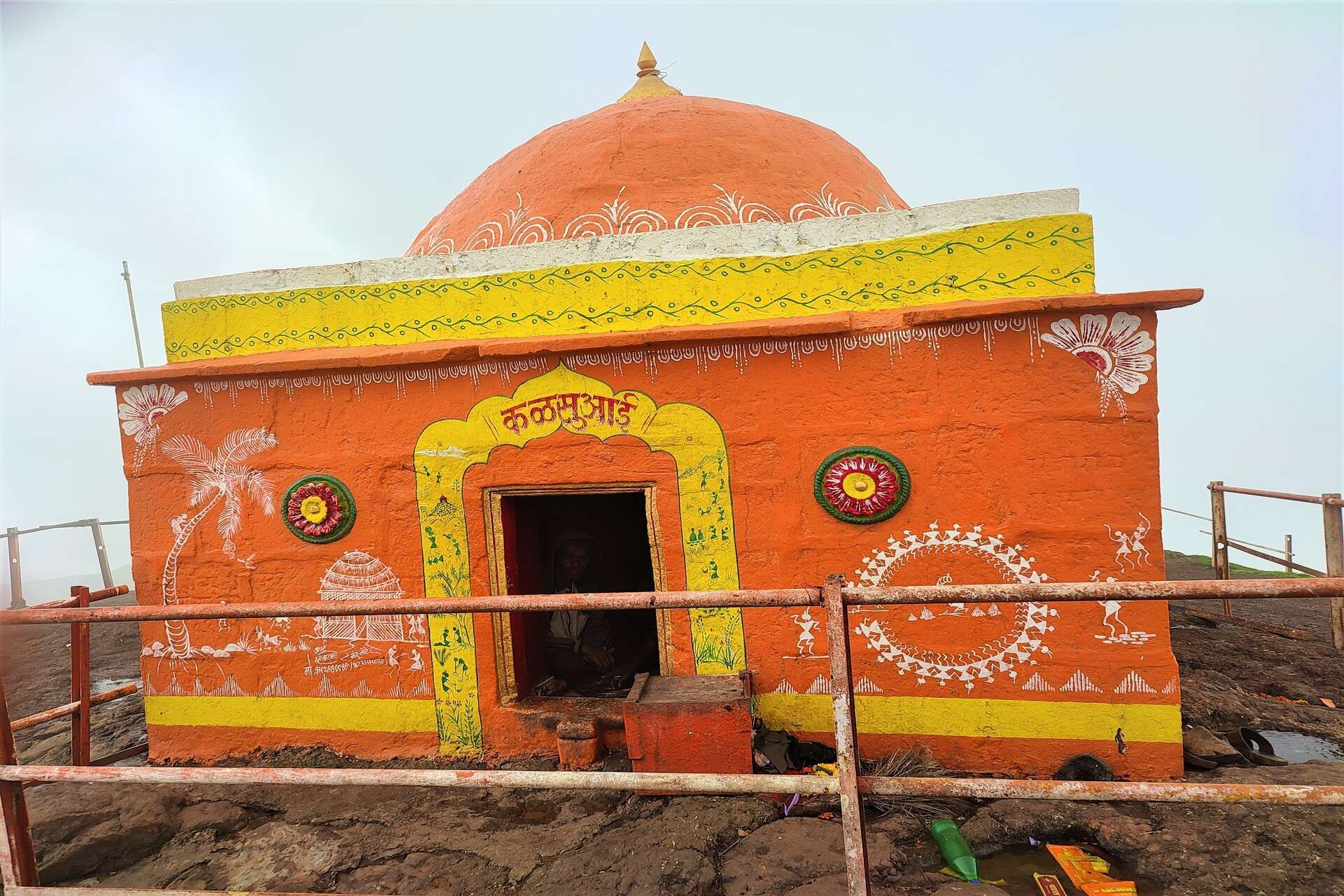
Best Trekking Places In Nashik :
It’s not deniable that Nashik has many places of attraction for all ages and genders, it doesn’t matter what you like, in Nashik your adventure waits. However, it can be a little confusing to decide, for that matter, here is a list of best treks to do in and around Nashik.
Also Read :
Kumbhe Waterfall – A Complete Guide
But before moving to our main topic, let’s know a little about the city of Nashik.
Nashik is an ancient holy city located in the western state of Maharashtra, India. Situated on the banks of the Godavari River, the city is also known as the Wine Capital Of India. The city of Nashik is historically and culturally an important city in Maharashtra with several ancient temples and Forts. Trimbkeshwar Jyotirlinga, one of the 12 Jyotirlingas in India, is located in this city.
Nashik is very famous for the Kumbh Mela held here. The Kumbh Mela held in the city of Nashik is famous throught India. Kumbh Mela is a religious festival that takes place every 12 years and attracts millions of pilgrims from all over the India. There are many ancient pilgrimage sites like Trimbakeshwar Temple, Kalaram Temple, Sita Gufa (Gufa : Cave) which you can visit.
Nashik is famous not only for its ancient temple but also for its forts. All these forts are the pride of Maharashtra. There are about 60 to 70 forts are present in Nashik. Among them Harihar Fort, Salher, Mulher, Tringalwadi, Ramshej, Brahmagiri and Salota are very famous. Also the Anjaneri mountain is also very famous, it is the birthplace of Lord Hanuman.
So, here is a list of best treks to do in and around Nashik :
1. Harihar Fort Trek :
Harihar Fort is a very famous fort in Nashik. The unique rock-cut steps are the main attraction of Harihar Fort. You will surely be amazed by these steps. Harihar fort is located at a distance of 42 Km from Nashik and 15 Km away from Trimbakeshwar.
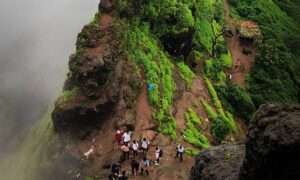
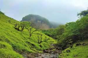
The trek to the fort starts from the base village of Nirgudpada. Two villages are located at the base of this fort. Nirgudpada/ Kotamwadi and Harshewadi are the two villages located at the foot of the Harihar fort. The trek route starting from Harshewadi village is easy and short. And the route through Nirgudpada / Kotamwadi is a bit difficult and also full of adventure. It takes you through the dense forest and steep ascents.
For more information, please check out this blog : Harihar Fort Trek ( Nashik) – Everything You Need To Know
If you start the trek from Nirgudpada, it takes 2 to 2:30 hours to reach the top. And starting from Harshewadi may take 1:30 to 2 hours to reach on the top of the fort. Now its your choice from where to start the trek. The summit offers stunning views of the surrounding valleys and the nearby attractions. The view from the top is truly mesmerizing.
Trek Details :
- Height : 3676 ft.
- Base Village : 1. Nirgudpada / Kotamwadi 2. Harshewadi
- Difficulty Level : Medium
- Trek Distance : 3.5 km from Nirgudpada and 2.5 km from Harshewadi
- Nearest Town : Trimbakeshwar
- Nearest Bus Stand : Trimbakeshwar
- Nearest Railway Station : Igatpuri and Nashik
2. Anjaneri Hill Trek :
Anjaneri is a hill located around 26 Km from Nashik and 10 km from Trimbakeshwar. This spiritual site is located between Nashik and Trimbakeshwar. This place is very famous as the birth place of God Hanuman. The Anjaneri fort is named after Anjani, the mother of God Hanuman. As a result, it is considered a religious site among Hindus.
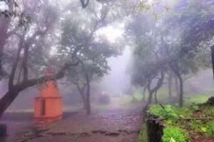
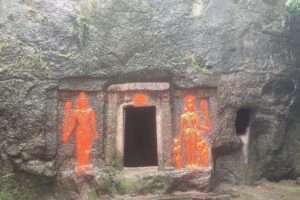
Anjaneri Cave, water tanks, God Hanuman foot-shaped lake, and a temple dedicated to Anjani Mata can be seen here. Trek to this hill starts from the Anjaneri Village. It takes around 2-3 hours to complete the trek, which is easy to moderate level. The trek begins in Anjaneri village and takes you through dense forests and rocky terrain. Along the way you will come across a small waterfalls and a ancient temples.
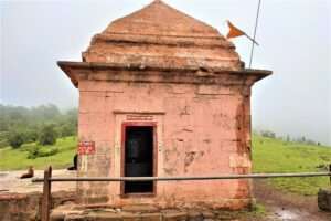
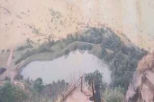
The summit offers panoramic views of the nearby hills and valleys. If you want to experience this trek at its finest, it’s best to do it during the monsoon season when everything is lush green and the waterfall is at its best.
Trek Details :
- Height : 4264 ft.
- Base Village : Anjaneri Village
- Difficulty Level : Medium
- Trek Distance : 4 km
- Nearest Town : Trimbakeshwar
- Nearest Bus Stand : Trimbakeshwar
- Nearest Railway Station : Igatpuri and Nashik
3. Brahmagiri Hill Trek :
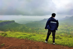
The hill of Brahmagiri, located near Trimbakeshwar temple, is one of the most popular trekking as well as religious site in Trimbakeshwar town. This is a moderate hike that takes around 2 to 3 hours to complete. Brahmagiri village is the starting point of the trek, and the trek takes you through dense forests. From the summit, you can enjoy stunning views of Trimbakeshwar temple, Brahmagiri ranges, and surrounding valleys. This trek is most enjoyable during the monsoon season when everything is lush green and the waterfalls are at their best.
Trek Details :
- Height : 4264 ft.
- Base Village : Trimbakeshwar
- Difficulty Level : Medium
- Trek Distance : 2 Km
- Nearest Town : Trimbakeshwar
- Nearest Bus Stand : Trimbakeshwar Bus Stand
- Nearest Railway Station : Igatpuri And Nashik
4. Kalsubai Peak :
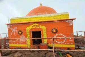
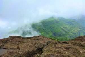
With a height of 5400 ft. Kalsubai peak is the highest peak of Maharashtra. Due to this it is also known as the Everest of Maharashtra. Kalsubai peak is located in Bari village of Ahmednagar district. Trek to the Kalsubai starts from the base village of Bari. It is at a distance of 38 Km from Igatpuri, 55 Km from Kasara and 60 Km from Nashik.
For a detailed Guide, check out this blog : Kalsubai Peak – How To Reach Kalsubai
In order to reach the summit, need to hike moderately and it takes around 4-5 hours. A breathtaking view of the surrounding mountains and valleys can be enjoyed from the summit.
Trek Details :
- Height : 5400 ft.
- Base Village : Bari
- Difficulty Level: Difficult
- Trek Distance : 6.5 km
- Nearest Town : Igatpuri
- Nearest Bus Stand : Igatpuri
- Nearest Railway Station : Igatpuri
5. Ratangad Fort Trek :
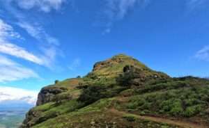
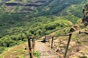
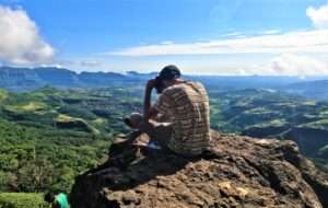
There are a lot of trekking opportunities in Bhandardara, but one of the most popular is trek to Ratangad Fort. Ratangad fort is located at the base village of Ratanwadi. Ratanwadi village is located in Bhandardara in Ahmednagar district of Maharashtra state. With a height of 4250 ft , Ratangad fort lies between the boundaries of Ahmednagar and Nashik districts. It is located at a distance of 56 Km from Igatpuri, 85 Km from Nashik and 165 km from Pune.
For more information, you can check out this blog : Ratangad Fort Trek (Bhandardara)- Everything You Need To Know
Ratangad Fort is considered a part of the Kalsubai ranges. Trek to the Ratangad starts from the Rataneadi village and it takes around 2 to 3 hours to reach the summit. From the summit, you will get to see the breathtaking views of Sahyadri mountain ranges and Bhandardara dam.
Trek Details :
- Height : 4250 ft.
- Base Village : Ratanwadi
- Difficulty Level : Moderate
- Trek Distance : 5 Km
- Nearest Town : Shendi
- Nearest Bus Stand : Igatpuri ( You will get buses from Igatpuri to reach Shendi )
- Nearest Railway Station : Igatpuri and Kasara
6. Harishchandragad Trek :
Harishchandragad has lot more to offer when it comes to trekking as well as exploring the ancient monuments at the same time. There is no doubt that you will have an amazing trekking experience during this trail, which will be unlike any other. The hill fort of Harishchandragad is located in the Ahmednagar district of Maharashtra, India. The area lies within the Malshej Ghat ranges of the western ghat.
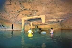
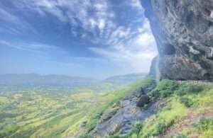
Harishchandreshwar temple, Kedareshwar Cave and Konkankada are the major point of attraction here. From Konkankada you will get to see the extended view of Sahyadri mountain ranges.
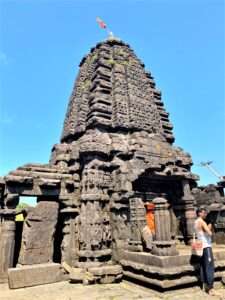
Harishchandragad Trek begins from Pachnai village, which is the base village of Harishchandragad. Around 2-3 hours are required to reach on the top. Pachanai, Khireshwar and Belpada, three villages located at the base of the fort. The fort can be reached via many routes. If you are beginner, I would like to suggest you to start trek from Pachnai village. Trek from this route is easy and short as compared to the other route.
For more information, check out this blog : Harishchandragad Trek – Everything You Need To Know
Trek Details :
- Height : 4665 ft.
- Base Village : Pachnai, Khireshwar and Belpada/Walhivale
- Difficulty Level : Moderate ( From Pachnai Village)
- Trek Distance : 4 km
- Nearest Town : Rajur
- Nearest Bus Stand : Rajur bus stand. ( Akole Taluka, Ahmednagar District )
- Nearest Railway Station : Igatpuri
